




💧 All the Waterfalls of Adjara: a Guide to the Region's 11 Cascades
Waterfalls of Adjara
This guide covers 11 cascades from the coast to the mountain gorges: from the popular Makhuntseti to the almost-wild Jocho and Skala.
Adjara is not only Batumi and the sea. Drive half an hour into the mountain gorges and a different Georgia begins: relict box-tree forest, stone arch bridges and dozens of waterfalls. Some are known to every taxi driver; others are reached by a trail through someone's yard and 500 metres of slippery rock.
This guide gathers eleven waterfalls of Adjara in one place: from the famous Makhuntseti to the almost-wild Jocho and Skala. For each one you get the location, difficulty and who it suits. At the end: three ready-made routes and a comparison table.
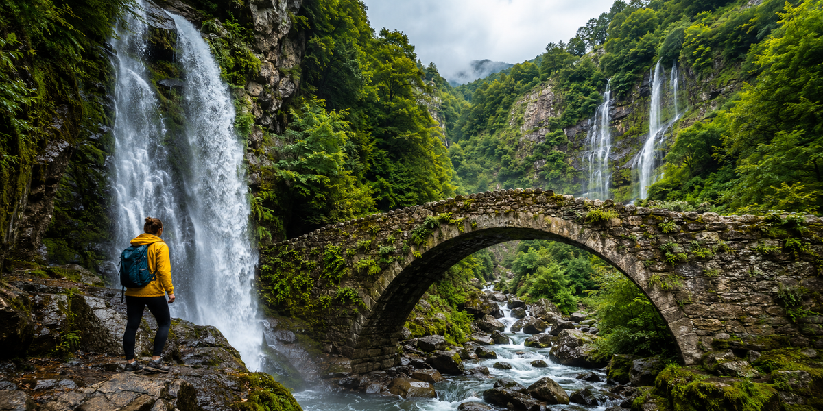
🗂 Navigator
All 11 waterfalls by area
🌊 Coast and Khelvachauri 4
🌿 Kapnistavi 4
🏔️ Machakhela and mountain Adjara 3
🗺️ All 11 waterfalls on the map
Open in Google Maps🌊 Near Batumi and the Coast
The waterfalls closest to Batumi need no specialist gear and no full day. Most are roadside or a 20-30 minute walk away. This group is ideal for a first encounter with Adjara cascades and fits neatly into the same day as Gonio Fortress or Sarpi beach.
St Andrew's Waterfall
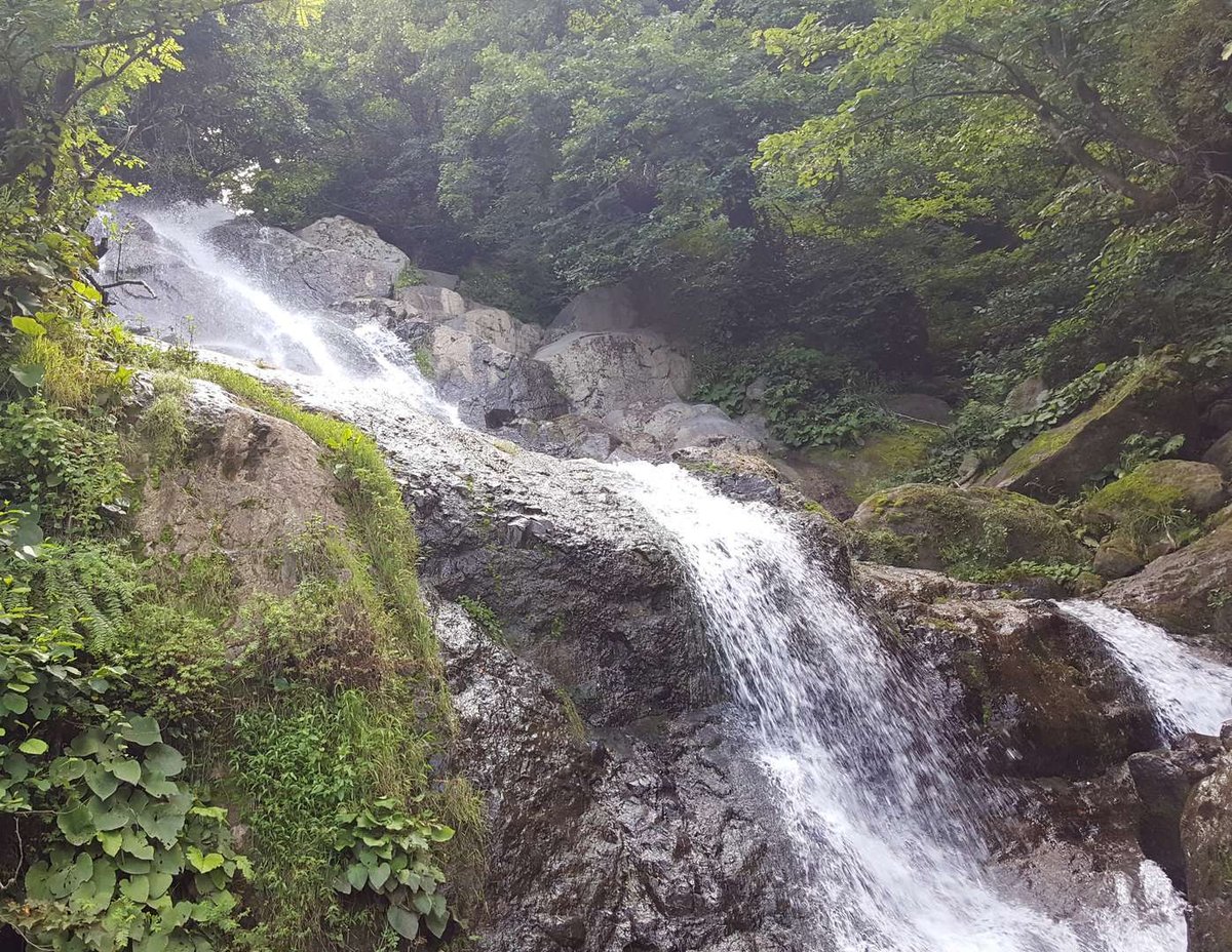
The waterfall is near Kvariati village, 12 km from Batumi and one kilometre from the Georgian-Turkish border. Right behind it stands the monumental sculpture of the Apostle Andrew, unveiled in 2008 under presidents Saakashvili and Yushchenko. According to tradition, the apostle entered Georgia here and founded the first church in the region. The waterfall and the monument form a single composition.
The cascade is 15-20 metres high and stands right by the highway. Parking at the turn-off, the path down takes five minutes. The site is developed and quiet in summer, as most tourists head further into the mountains. The apostle Andrew's journey through Adjara and the monument's link to the church in Sarpi are covered in more detail if the topic interests you.
Nearby: Sarpi beach with the cleanest sea in Adjara, and Gonio Fortress. All three fit in one morning.
Kibura
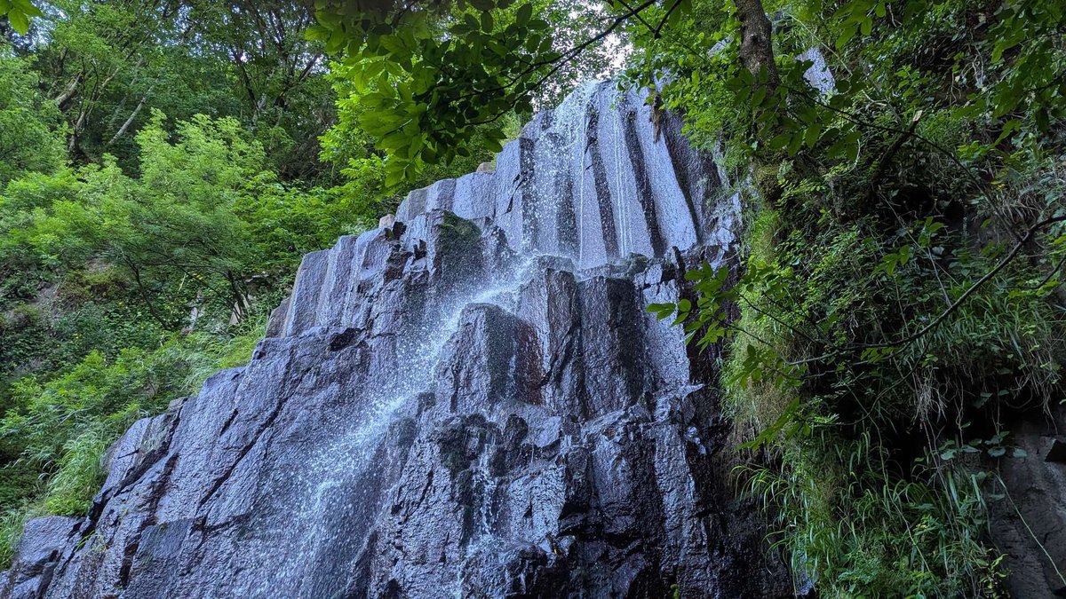
Kibura is nicknamed "the Lover." It stands 20 km from Batumi in Adjaristskali village, right on the Keda highway. This is one of those Adjaran cascades that travellers pass on the way to Kapnistavi or Makhuntseti and stop at for a few minutes. That convenience is exactly what it is valued for.
The cascade is small but lively: water falls into a basin, surrounded by forest and rock. No souvenir stalls, no crowds. Good for swimming and a picnic. It is worth knowing that Kibura looks different in different seasons: powerful in spring, potentially just a trickle in August.
Kibura works best at the start of a mountain day: stop here first, then drive up to Kapnistavi or Jocho.
Jocho Waterfall
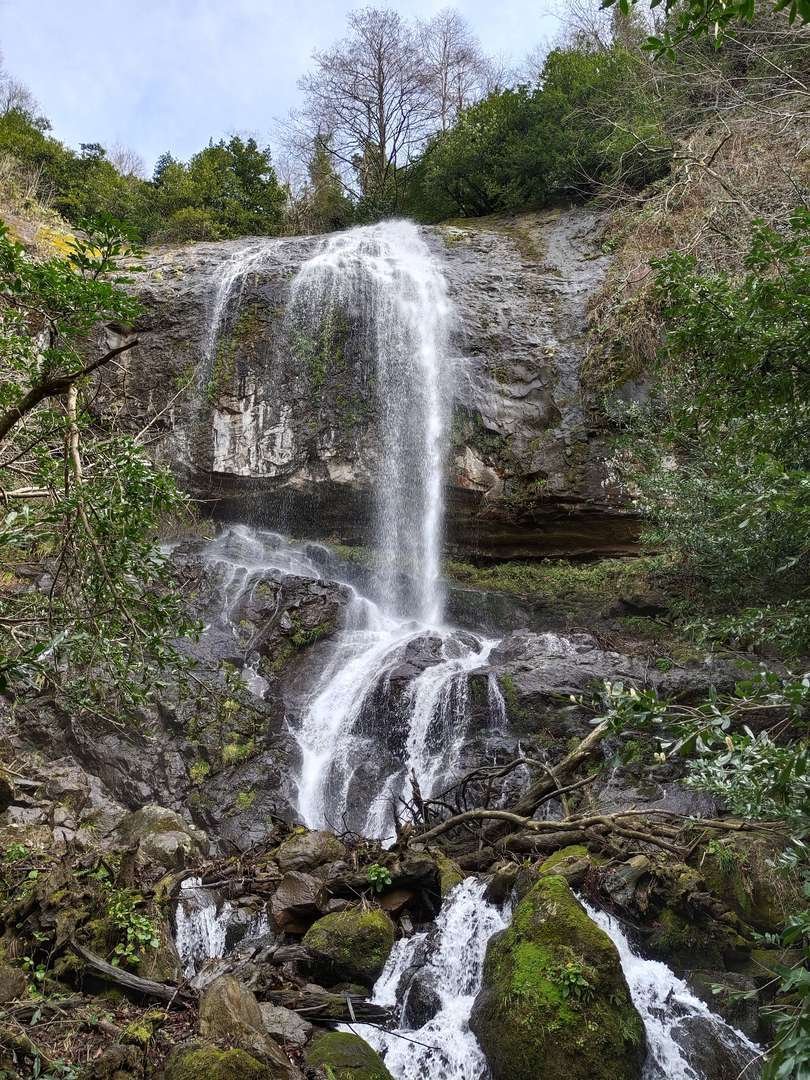
Jocho is the most-searched "wild" waterfall in Adjara and at the same time one of the hardest to reach. It sits near Zemo Jocho village (41.5802°N, 41.7178°E). The route runs either through private land (the owners are friendly and point the way) or along a rushing stream. The last 500 metres are tough: slippery rock, sometimes ankle-deep in water, no signs.
Why people come: the cascade has a natural recess behind it. You can step inside and stand behind the curtain of falling water. That moment appears in almost every review. The card's 3.6 rating with 14 reviews is explained by one thing: some visitors could not find the path and turned back.
To avoid spending an hour hunting for the right yard, look up the route to Jocho waterfall with a map in advance. Jocho pairs well with Kibura on the way there and with Mirveti as a second wild waterfall in the same day.
Mirveti Waterfall
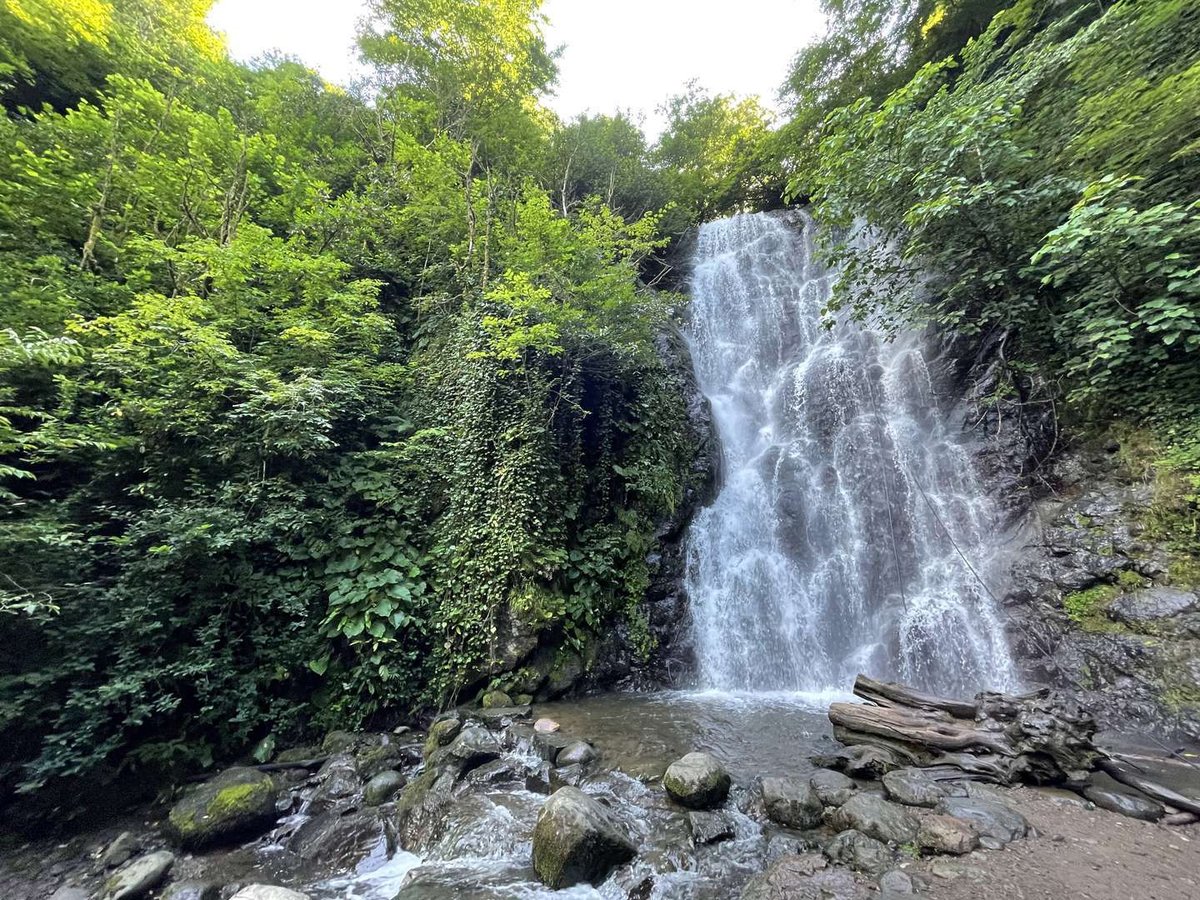
Mirveti, around 20 metres high, is hidden from the road: leave the car at the village and walk about 30 minutes through relict box-tree forest. The trail is car-free and quiet. Box trees, waist-high ferns and moss-covered rocks: this forest is usually described as "like another world."
The village of Mirveti stands on the left bank of the Chorokhi river, 40 km from Batumi. A Colchic plane tree from the Red Book grows here, alongside a picnic area and a few cafes. Nearby: the Mirveti arch bridge from the 9th-13th centuries, one of Adjara's most photogenic medieval structures. And just a little further: the confluence of the Chorokhi and Adjaristskali rivers, where two different-coloured streams visibly merge.
In a route, Mirveti combines with Jocho, Gvara Fortress and the Machakhela gorge.
🌿 Kapnistavi: the Village of Seven Waterfalls
Kapnistavi is a special case. It is not one cascade but a whole village with seven official waterfalls. An open ethnography museum with old mills, a wine cellar with home wine, and families serving trout from a mountain stream. From Batumi: 26 km, 25-30 minutes by car. By minibus 77: to Atdaris-Tskhali stop, then 2.5 km on foot.
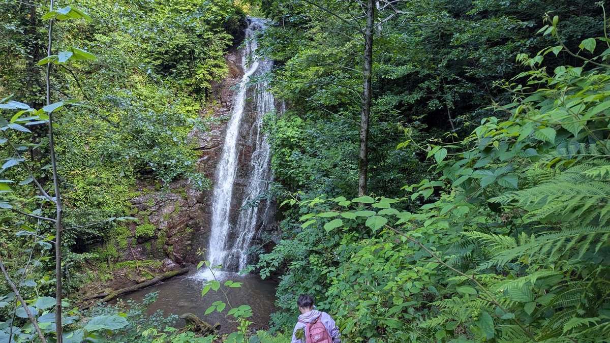
Kapnistavi cascades
The main route starts from the free car park at the village entrance (GPS: 41.5586°N, 41.7431°E). The path leads through footbridges, old mills and fern forest to the lower cascades. At the large lower waterfall is the highlight: there is a natural recess behind the curtain that you can step into and stand behind the flow. That is what most groups come for.
The upper waterfall at 35 metres stands separately: up the village road, then 15 minutes on foot. It drops in a narrow gorge where the cliff walls nearly meet on both sides. It is worth adding as a separate loop by car.
There is half a day's worth to do beyond the water: swimming in mountain pools, wine tasting with Uncle Zurab, searching for "hidden" cascades without paths. How to plan a day in the seven-waterfall village step by step, with a map, is covered separately. Next to the waterfalls is an open-air ethnography museum with 19th-century mills and tools.
How to get there: 26 km from Batumi. Nearby: Kibura on the way in, Mirveti 10 minutes in another direction.
Koshkin Waterfall
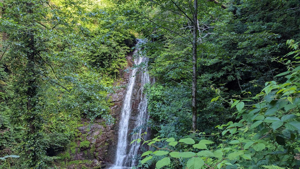
Koshkin stands a little off Kapnistavi's main tourist trail, on the Adjaristskali river. One of the village's cascades that you learn about after walking the lower waterfalls. If you are already in the village and want more water away from the crowd, it naturally extends the walk.
How to get there: from the Kapnistavi entrance car park, follow the Adjaristskali river.
Skala Waterfall
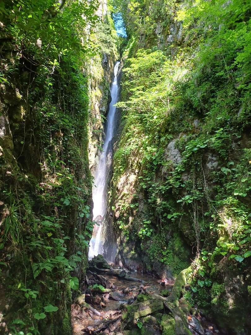
Skala is a wild cascade in the Kapnistavi area, with no signs and no developed trail. Mossy rocks, untouched forest, silence. For those prepared to find the way themselves, offline map in hand. Entry is free, as at all the village waterfalls.
What to bring: offline track (Komoot or OsmAnd), shoes with grip, extra time to search.
🏔️ Machakhela and Mountain Adjara
This group is further from Batumi, 30 to 50 km, and takes more time. But the region's highest waterfalls and best nature are here. Machakhela National Park covers mixed forest from 300 to 1,000 metres above sea level, three marked trails and several cascades.
Makhuntseti Waterfall
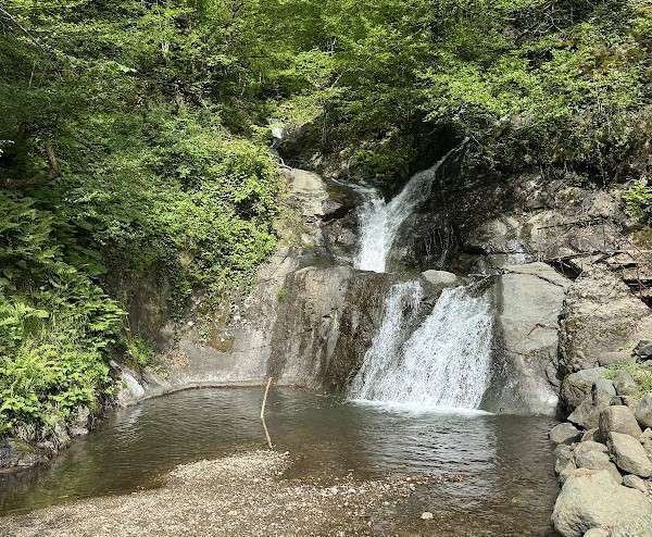
Makhuntseti is the tallest and most visited waterfall in Adjara. Total drop up to 52 metres, visible cascade about 30. It is 30 km from Batumi and minibus 77 from Batumi bus station runs there: the only Adjaran waterfall you can reach without a car. That is why it is always busy.
Right next to it stands Tamara's arch bridge: a stone crossing from the 9th-10th centuries, around a thousand years old. The bridge rests on natural rock ledges and seems to float above the river. Engineer Nadezhdin, examining it in the early 20th century, wrote: "The boldness with which this stone structure was thrown across the river is astonishing." In summer a small sandy beach forms at the base of the waterfall.
The crowds put many people off, but they are easy to avoid: knowing when to visit Makhuntseti without the tour buses and which side to approach the bridge from makes all the difference. Early in the morning there is almost nobody there.
Nearby: Kapnistavi village 15 minutes back down the road, Furtio arch bridge further north on the Adjaristskali.
Twins Waterfall
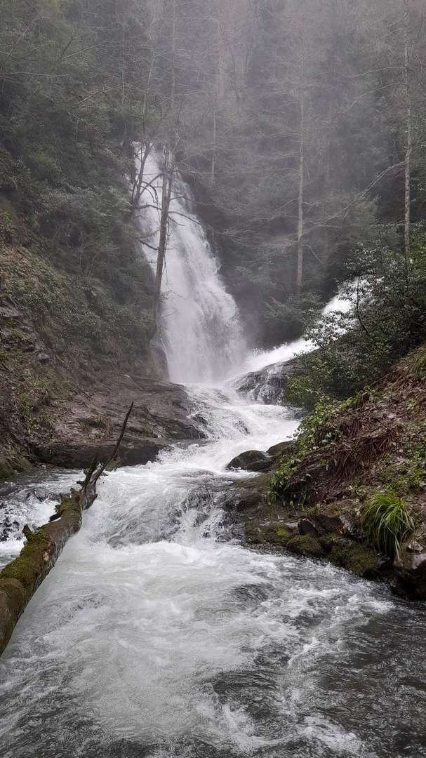
The Twins are in Machakhela National Park, east of Lower Kokoleti village, at 735 metres above sea level. Height around 50 metres. The name explains itself: the cascade splits into two nearly identical streams falling side by side.
The route is one of the park's three marked trails, through mixed chestnut, beech and hornbeam forest. The Machakhela gorge is cooler than the coast even in midsummer. Along the way you pass medieval arch bridges, including Tskhemlar, which stands on the Machakhela river and is permanently covered in lichen from the moisture.
How to get there: from Batumi via the Chorokhi, then highway E70 towards Keda and Machakhela. Car required; then about an hour on foot from the visitor centre. Nearby: Tskhemlar bridge, Machakhela gorge, the park's viewpoint trail.
Tsablnari
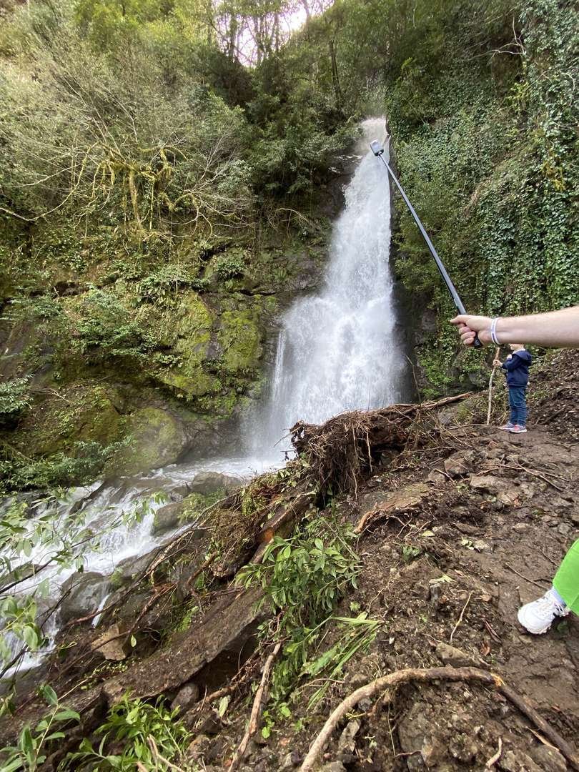
Tsablnari is a quiet waterfall of 28 metres, hidden in the forest. A small pool collects at its base, where trout can reportedly be seen jumping. The walk to it is about 7 km through beech forest, and the walk itself is the reward: narrow trails in wild forest and constant cool air from the mountain streams.
The waterfall is part of the Mtirala National Park route. It suits travellers deliberately collecting Adjara's waterfalls and willing to go well off the popular spots.
Trail difficulty
🗓️ Best Season and Time of Day
Adjara's waterfalls have no "closed" season: entry is free year-round. But the impression depends heavily on timing, and the difference between a good visit and a disappointing one is often decided by when you go.
Spring, from April to early June, delivers the strongest flow. Snowmelt fills the rivers, and even modest cascades like Mirveti or Kibura look impressive. This is the best time if you are coming for the water itself. The downside: paths become muddy after rain, and the wild waterfalls (Jocho, Skala) have particularly slippery rock.
Summer, from June to September, is swimming season. The mountain forest stays cool even when Batumi is at 35°C, and the natural pools at Makhuntseti, Kapnistavi and Mirveti become the main draw. The water stays cold in any heat. The only downside: popular waterfalls are crowded at weekends, especially Makhuntseti with its tour buses.
Autumn, from September to November, is the quiet season. Fewer tourists, the forest changes colour, clean air. The flow is weaker than in spring, but for walks and photography it is arguably the most comfortable time. In winter the waterfalls are accessible, but mountain roads towards Keda, Khulo and Machakhela can be icy or temporarily closed.
One rule for any time of day: go in the morning. Before 10-11 a.m. any waterfall, even Makhuntseti, is noticeably quieter, and for the wild cascades an early start gives you daylight margin to find the trail.
| Waterfall | Height | Location | Difficulty | Highlight |
|---|---|---|---|---|
| Makhuntseti | up to 52 m | Keda, 30 km | very easy | most popular Tamara bridge |
| Twins | ~50 m | Machakhela, 735 m | moderate | two streams side by side |
| Kapnistavi | upper 35 m | Khelvachauri | easy | 7 falls + museum + wine |
| St Andrew's | small | Kvariati, 12 km | very easy | border, Sarpi beach |
| Jocho | in forest | Zemo Jocho | hard | step behind the cascade |
| Kibura | cascade | Adjaristskali, 20 km | easy | "the Lover", roadside |
| Mirveti | ~20 m | Mirveti | moderate | 30 min in box forest |
| Koshkin | cascade | Kapnistavi | easy | away from the crowd |
| Skala | in forest | Kapnistavi | hard | wild, no signs |
| Tsablnari | 28 m | Mtirala | moderate | quiet, little-visited |
| Artificial Kapn. | developed | Kapnistavi | easy | cool river |
🚗 Getting There and What's Nearby
The key feature of Adjara's waterfalls is that almost all of them are in Khelvachauri Municipality and the Adjaristskali valley, along a single road from Batumi towards Keda. That means several waterfalls can be combined in one day without going back to the city each time.
Without a car, only Makhuntseti is straightforward: minibus 77 from Batumi bus station (1 Mayakovsky St), about 40 minutes. For the rest, public transport either does not run or drops you on the highway several kilometres from the waterfall. A car, taxi or organised excursion from Batumi is needed for a proper route.
By car the logic is simple: the further from Batumi, the higher into the mountains and the harder the trails. The coastal points come first (St Andrew's is in the opposite direction, towards Sarpi), then Kibura and Jocho, then Kapnistavi, and furthest are Makhuntseti and Machakhela. Key GPS points: Kapnistavi car park 41.5586°N, 41.7431°E; Jocho 41.5802°N, 41.7178°E. Navigation apps don't always recognise the villages by name, so save the coordinates in advance and download an offline map (Komoot, OsmAnd) before you leave; signal in the gorges drops out.
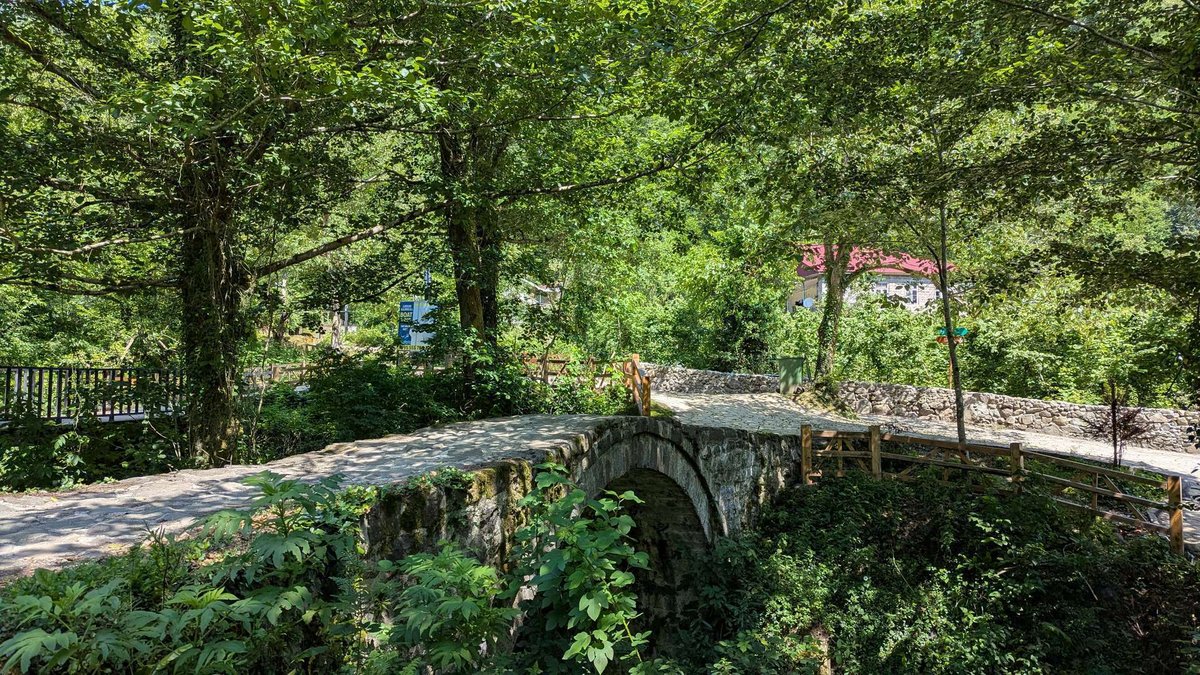
What's nearby besides the water: at Makhuntseti there is the medieval Tamara arch bridge; at Mirveti another arch bridge and the Chorokhi-Adjaristskali confluence; in Kapnistavi a folk museum and wine cellar; near St Andrew's the Sarpi beach and Gonio Fortress. Many of these fit into the same day as the waterfalls without a detour. A ready-made plan with a map is in the one-day route from Batumi; for Machakhela specifically see Machakhela National Park.
🗺️ Three Routes Through Adjara's Waterfalls
Download the Adjara waterfalls guide
The PDF includes waterfalls, route ideas and short tips before the trip. Save it to your phone, so you can open it offline on the road.
These three routes cover different formats. Any of them can be cut short or extended depending on how many waterfalls you want in a day.
🎒 Packing for the waterfalls
This kit covers any of the eleven waterfalls, from the developed Makhuntseti to the wild Skala.
🗨️ Over to you! Have you been to the waterfalls of Adjara? Tell us which cascade impressed you most, whether you managed to step behind the curtain of water, and how wet you got. Share in the comments.
Information is accurate as of 15 June 2026. Entry fees, opening hours and trail conditions can change, so check before visiting.
❓ Frequently Asked Questions
Makhuntseti: total drop up to 52 metres. It is also the most visited, thanks to its convenient position 30 km from Batumi next to the medieval Tamara bridge. The Twins waterfall in Machakhela is close in height, around 50 metres.
Makhuntseti: waterfall and bridge in an hour and a half, with Kibura on the way. For no crowds: Kapnistavi for half a day. If you are at the sea and have no time for mountains: St Andrew's, 12 km from Batumi.
Yes, at some. Makhuntseti has a sandy beach in summer. Kapnistavi has natural pools. The water is cold everywhere, even in August.
Jocho and Skala: no signs, slippery trails, the last few hundred metres over rock, sometimes through private land. Mirveti needs 30 minutes on a forest path. For these you need good shoes and an offline map.
It is difficult. Minibus 77 from Batumi bus station runs to Makhuntseti. For the rest, public transport either does not run or is inconvenient. A taxi, car rental or excursion from Batumi is the best option.
An exact number is hard to give: the developed and documented cascades alone number over ten, and with small and hidden ones, several dozen. This guide covers the eleven most notable, including the seven-cascade system at Kapnistavi.
Read also
- Kintrishi Day Route: Reserve, Waterfall and River Valley
- The Cave, Waterfall and Boxwood Grove of Intsira: A Route Through Chkvaleri
- Adjara Birdwatching Festival: Chaisubani and Season
- Shdugra Waterfall from Mount Ushba: Cascade off the Caucasus Peak
- The Surami Waterfall at Bijnisi Village: Where It Is and What Is Actually Known

3 comments
Log in to leave a comment