




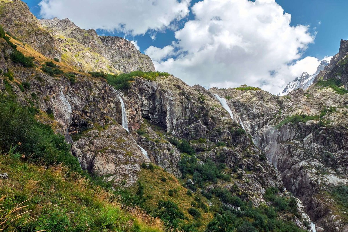
Shdugra Waterfall from Mount Ushba: Cascade off the Caucasus Peak
The peak of Shkhara is located on the Svan section of the Caucasian Ridge, more precisely on the Bezing wall. One of the largest glaciers in the Caucasus, the Bezinsky Glacier, descends from the wall to the north, and the Khalde and Shkhara glaciers descend from the south. The Inguri River originates from this glacier.
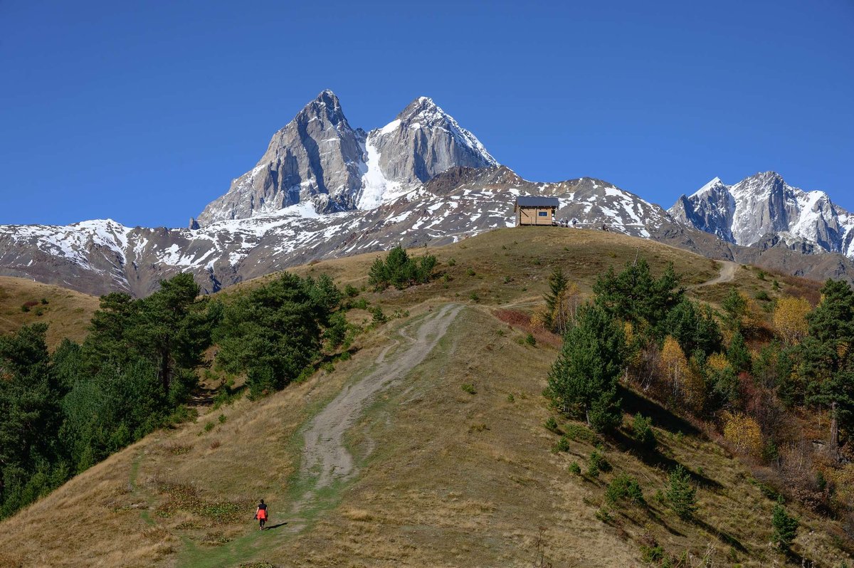
In the Svan section of the Greater Caucasus Range, many peaks are covered with eternal snow. Among them: Shkhara (the highest peak of Georgia, 5,203 m), Tetnuldi (4,858 m) and Ushba.
Ushba is a two-headed peak located on a small spur of the watershed of the Main Caucasian Ridge to the southeast of Elbrus. The southern peak of Ushba reaches 4,700 meters, while the northern peak reaches 4,690 meters. Ushba was awarded the highest climbing difficulty category. After twenty attempts to climb Ushba, the northern peak was first overcome in 1888 by British climbers, and the southern peak was first conquered in 1903 by members of a combined German-Austrian and Swiss team. It is known that in the following years (until 1934) numerous attempts (60 times) to conquer only four times.
Ushba Waterfall (or Shdgra, Shtugra), is formed by the fall of a river stream flowing from a glacier located on the slope of Ushba. From a height of 35 meters, a powerful stream of water falls with a deafening roar and merges with the Dolra River. At the foot of Ushba there is an extraordinarily beautiful lake, which in its shape resembles the outline of Georgia on the map.

32 comments
Log in to leave a comment
А как насчёт того, чтобы попробовать заскочить на пике сезона? Слышал, что весной всё цветёт, и потоки воды такие бурные, что жуть! Вот только интересно, когда лучше всего планировать поездку, чтобы не нарваться на снег и одиночество в горах?