




💧 Khanistskali Gorge: Khani Waterfall and the Kvakhvelia Phenomenon in Baghdati District
What to know about Khani Waterfall before you go
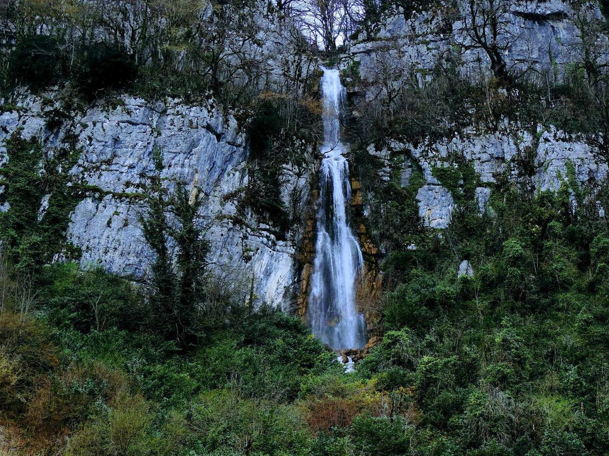
The highest and most powerful waterfall in Baghdati district — 25–30 m, in the Khanistskali gorge. Nearby: the Kvakhvelia phenomenon, where the river vanishes under a cliff and re-emerges. A 4WD vehicle is essential.
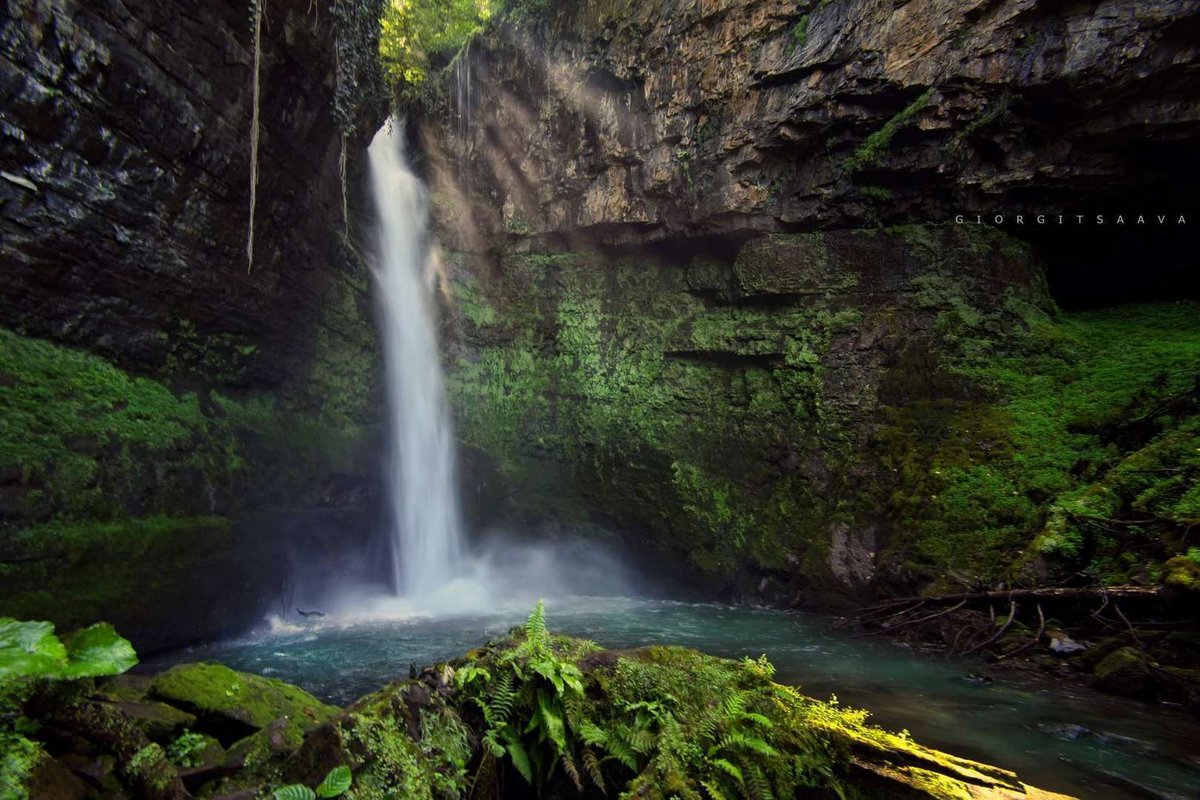
Khani Waterfall sits well off the tourist trail. Almost nothing has been written about it, road signs are scarce, and finding the way without an offline map is genuinely difficult. That is precisely the point: the Khanistskali gorge is one of the few corners of Imereti where the landscape has been left alone.
The waterfall is the main destination, but not the only one. Nearby, the river does something unexpected: it disappears into the rock face and resurfaces a few metres later on the other side. Locals have long called this place Kvakhvelia — "stone hole." Seeing it next to a falling curtain of water makes for an unusual afternoon.
📍 Getting There
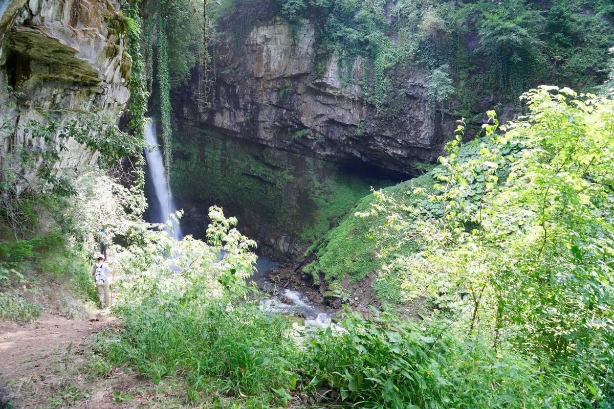
The waterfall is in Baghdati district, Imereti, 4 km south-east of the village of Khani, in the Khanistskali gorge. The nearest city is Kutaisi, 56 km away. Baghdati is 28 km, Tbilisi around 252 km.
🚗 By car: from Kutaisi via Baghdati to the village of Khani, then along the gorge. The tarmac ends in the village. The last 2–3 km wash out regularly — a 4WD or high-clearance vehicle is essential, especially after rain.
🚌 By public transport: minibuses run from Kutaisi to Baghdati. From there, a taxi or a lift with locals is the only option. There is no public transport to the waterfall.
💧 The Waterfall Itself
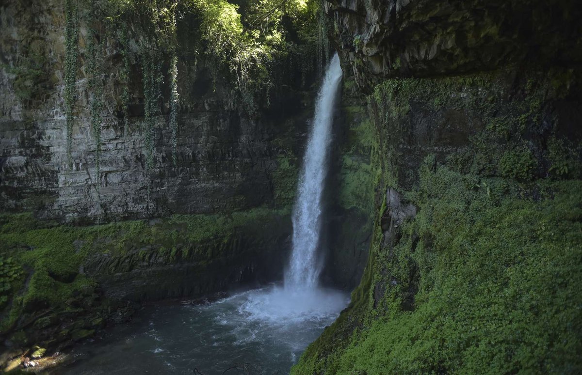
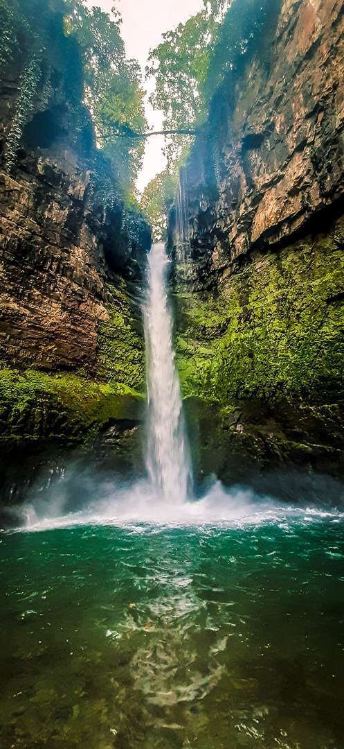
The drop is 25–30 metres. That is mid-range by Georgian standards, but Khani Waterfall is not about height — it is about volume. The flow is wide and forceful, especially in spring and early summer. On a sunny day the spray breaks into a rainbow directly in front of you.
The surrounding forest is dense. The rocks are covered in moss, the air damp and noticeably cool even in summer heat. There is no entrance fee, no ticket booth, no facilities. The place is genuinely wild.
Pack a change of footwear. The path along the river stays wet year-round, and the rocks near the waterfall are slippery with wet moss. Rubber boots or waterproof hiking shoes are not optional here — dry feet are not realistic otherwise.
🌊 Kvakhvelia: Where the River Goes Underground
A few dozen metres from the waterfall, the Khanistskali river does something that takes a moment to process: it hits a rock face and disappears. The water finds its way through fissures and cavities in the limestone and re-emerges on the other side of the cliff a few metres later.
This is a karst phenomenon — water cutting paths through soluble rock over time. The local name Kvakhvelia means "stone hole." Similar things happen elsewhere in Imereti: at Navenakhevi Cave and at Martvili Canyon, where water and limestone have been negotiating for millennia.
Kvakhvelia is not a marked attraction. No sign, no railing, no path. Just walk to the river downstream from the waterfall.
🗺️ What to See Nearby
Baghdati. 28 km from the waterfall. A small town in the Rioni valley, best known as the birthplace of Vladimir Mayakovsky. His house-museum is open to visitors — a natural stop on the way.
Tkibuli and Tskhrajvari. About 30 km north. Tkibuli is a former mining town at the foot of the Nakerala Pass. Above it, at 1,569 m, stands the open-air shrine of Tskhrajvari with a panorama across the western Caucasus. It pairs well with the waterfall on a full-day trip — details in the Tkibuli article.
Kutaisi. 56 km, the administrative centre of Imereti. Gelati Monastery, Prometheus Cave, Martvili Canyon — all within two hours.
Other waterfalls in Imereti. Mukhura Waterfall — three tiers, 70 metres, easy to reach. Chule Waterfall — massive and historically significant. All natural sites in the region are listed under Imereti natural attractions.
Have you been to Khani Waterfall? Leave a review on Madloba — share the road conditions, the water level you found, and whether you managed to locate Kvakhvelia. The place is little known and every review helps the next visitor.
Information current as of June 2026. Dirt road conditions change with rainfall — check before travelling.
❓ Frequently Asked Questions
25–30 metres. It is the tallest and most powerful waterfall in Baghdati district.
Yes. The last 2–3 km to the waterfall are dirt track with river crossings that wash out regularly. A standard car is likely to get stuck, especially after rain.
A karst phenomenon near the waterfall: the Khanistskali river disappears into a rock face and re-emerges a few metres later. The name means "stone hole." There is no marked trail — just walk to the river below the waterfall.
No. The site is wild — no tickets, no facilities.
April–October. The waterfall is most powerful in summer and creates a rainbow effect in sunlight. In winter the road may be completely impassable.
By car, 56 km via Baghdati to the village of Khani, then along the gorge. The final stretch requires 4WD. There is no public transport to the waterfall.
Baghdati with Mayakovsky's house-museum (28 km), Tkibuli and Tskhrajvari with Caucasus views (30 km), Mukhura Waterfall and Martvili Canyon across Imereti. Full list at Imereti natural attractions.

1 comment
Log in to leave a comment