


🗺️ Map of Georgia with Regions and Cities: How the Country Is Laid Out
🗺️ Map of Georgia: Regions and Cities
Nine regions, two autonomous republics, and Tbilisi as a separate administrative unit. Borders follow Georgia's official administrative division.
The first thing that surprises people looking at a map of Georgia is how small it actually is. The whole country fits inside a rectangle roughly four hundred by two hundred kilometres, and you can drive from a Black Sea beach to a Kakhetian wine cellar in a single day. That's exactly why a single trip here can realistically take in mountains, coastline, and ancient monasteries without sleeping in a different town every night.
The second thing that stands out is how the country is stretched east to west. Nearly every major city sits strung along one line following the main highway, while everything worth seeing in the mountains branches off it in short detours heading north. Understanding that logic makes planning a route considerably easier.
Here's what regions the country is made up of, where things actually sit relative to each other, which roads connect the cities, and how long the drive between them really takes.
🏛️ What regions does Georgia have
Formally, the country is divided into nine regions, two autonomous republics, and the capital, which is carved out as its own administrative unit.
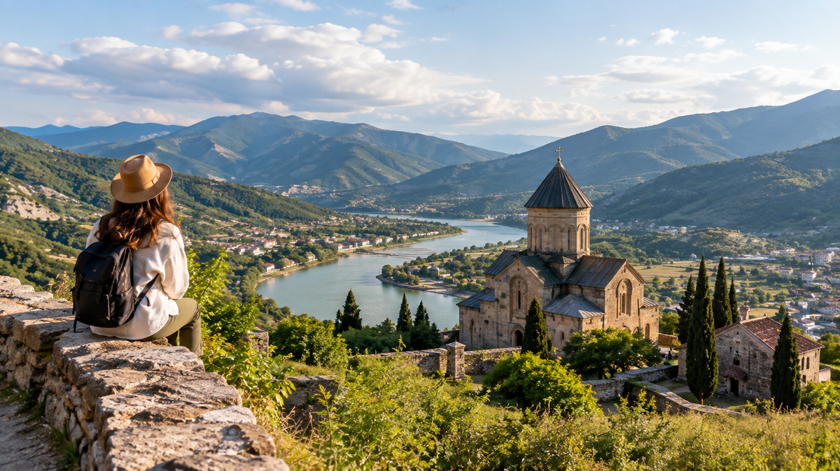
Running along the coast from north to south are Abkhazia, Samegrelo-Zemo Svaneti centred on Zugdidi, tiny Guria centred on Ozurgeti, and Adjara with its capital in Batumi. This is where people head for the sea, and it's also where the road into highland Svaneti begins.
In the centre of the west lies Imereti, home to Kutaisi, the country's third-largest city. North of it, tucked into the mountains, is Racha-Lechkhumi and Kvemo Svaneti, centred on Ambrolauri, the least populated region and, by travellers' accounts, one of the most beautiful corners of Georgia.
The eastern half is laid out like this: Shida Kartli centred on Gori, Mtskheta-Mtianeti with the ancient capital of Mtskheta and the Georgian Military Highway, Kvemo Kartli with industrial Rustavi, Samtskhe-Javakheti with Akhaltsikhe and Borjomi, and finally Kakheti with Telavi, the country's main wine region.
Tbilisi doesn't belong to any region; it's its own administrative unit, the way Moscow or Minsk stands apart from its country's regions.
🏙️ Georgia's major cities on the map
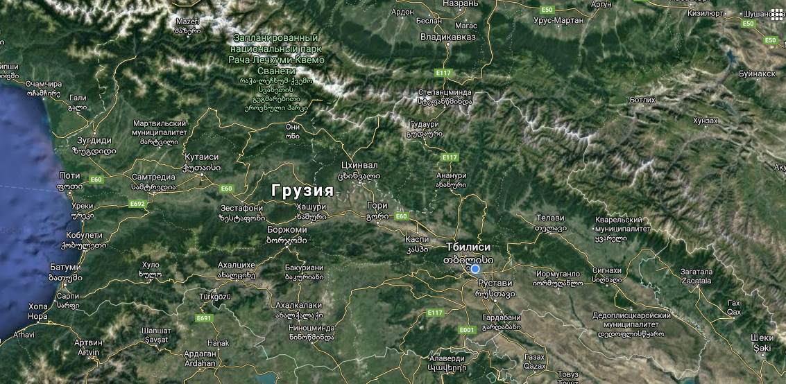
Look at the map and you'll notice most of the country's life is strung along one east-west line.
Tbilisi sits in the east, in the Kura river valley. Rustavi is right next to it, half an hour away. Gori and Borjomi sit closer to the middle, Kutaisi anchors the western half, and Poti and Batumi are on the coast.
Two directions branch off this line, and they're the reason a lot of people travel here in the first place. To the north, Stepantsminda, also known as Kazbegi, sits at the foot of the mountain sharing its name. And Mestia, in Svaneti, reached by its own mountain road from Zugdidi.
Kakheti, with Telavi and Sighnaghi, sits off to the side too, east of Tbilisi, and it's an easy one- or two-day side trip on its own.
🛣️ Georgia's main roads
Four routes worth knowing before you set out.
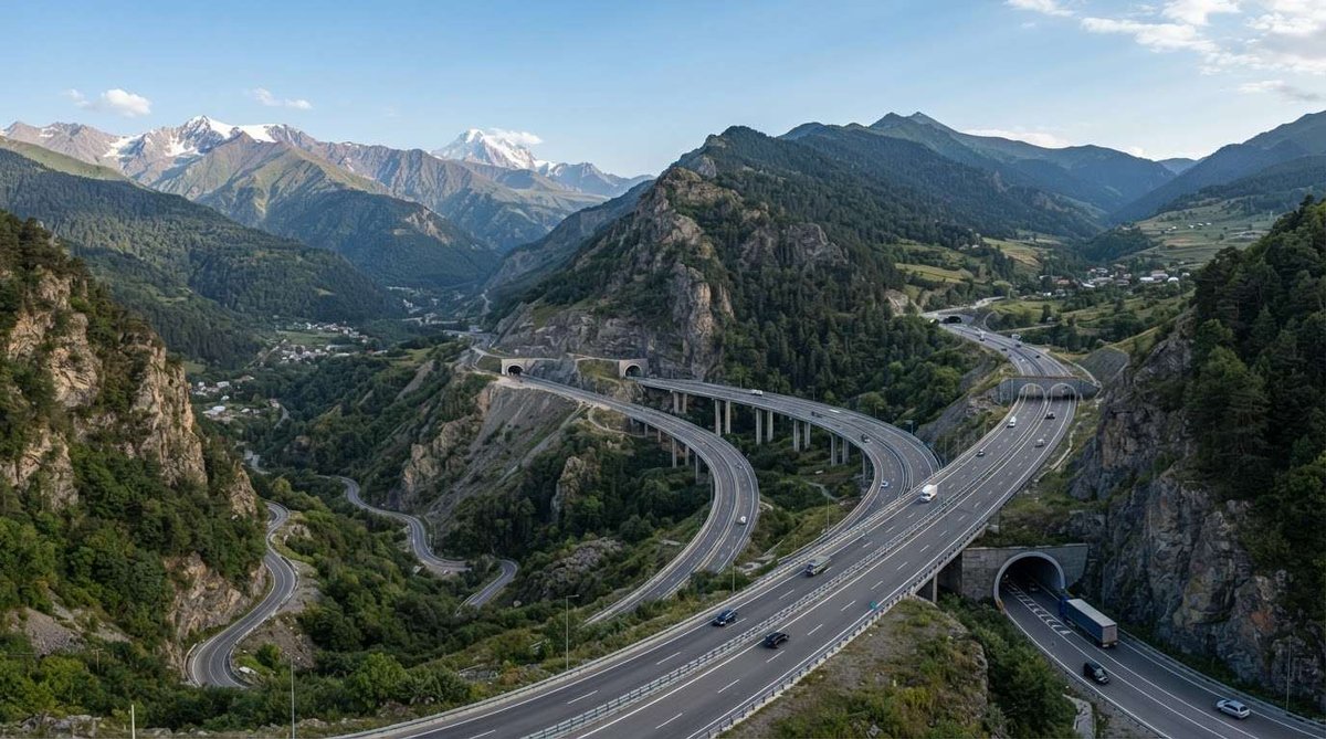
The east-west highway is the country's main artery: Tbilisi, Gori, Kutaisi, Batumi. It crosses the Rikoti Pass, and this stretch has been under reconstruction for years, with new tunnels and interchanges opening regularly. Travel time keeps shrinking as a result, which means older articles with exact figures go stale faster than usual.
The Georgian Military Highway runs from Tbilisi through Mtskheta and Gudauri to Stepantsminda and on to the Russian border. The most scenic road in the country, and also the most unpredictable in winter; the pass closes during heavy snow.
The road into Svaneti starts in Zugdidi and climbs to Mestia along the Enguri reservoir. The tarmac is fine, but the switchbacks take a while.
The route to Kakheti from Tbilisi splits two ways: shorter over the Gombori Pass, longer and gentler across the plain. Navigation apps usually default to the first, though it's worth checking the pass conditions in winter.
Worth a separate mention: seasonal mountain roads, the Goderdzi Pass between Adjara and Samtskhe-Javakheti, and the road into Tusheti via the Abano Pass. These aren't alternate routes so much as adventures in their own right, and a regular car doesn't always cut it.
⚠️ Abkhazia and the Tskhinvali region on the map
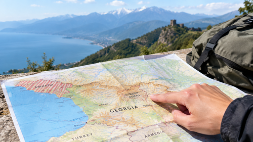
This question comes up for anyone who looks closely at the map, so here it is plainly.
Abkhazia and the Tskhinvali region, also known as South Ossetia, fall within Georgia's internationally recognised borders and are marked as such on administrative maps. At the same time, the Georgian government doesn't control either territory, and that has genuinely practical implications for travellers.
The key point: under Georgian law, entering these territories from Russia is considered illegal. People who enter that way risk running into problems at subsequent entry to the rest of Georgia. If you're planning a route, build it so these territories don't factor into it.
📱 Which map to actually use while travelling
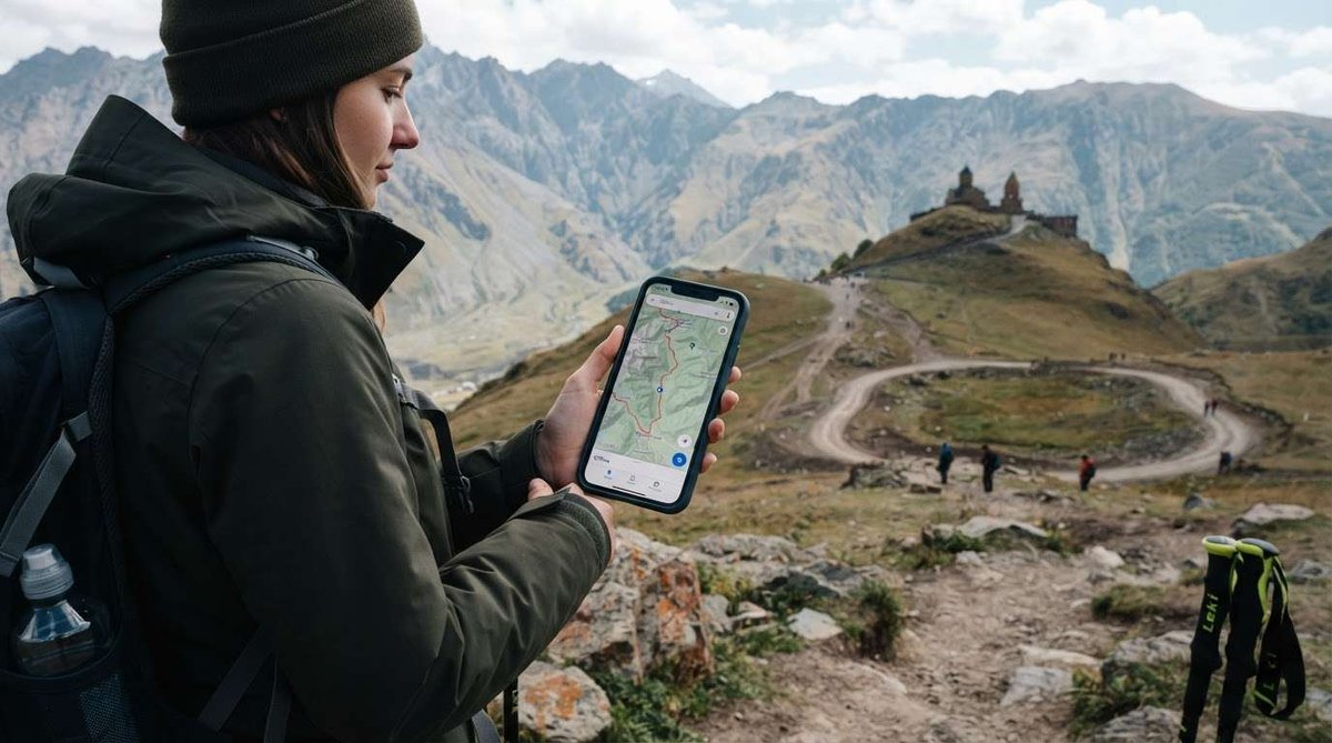
A printed map is good for planning, but you'll want live navigation once you're on the road.
Google Maps works reliably in Georgia, including public transport routes in Tbilisi. The important part is downloading an offline map of the country beforehand; signal drops out regularly in the mountains, exactly where navigation matters most.
Yandex Maps feels familiar to a lot of people and knows Tbilisi and Batumi well, though data in smaller towns can be patchier.
Maps.me and similar offline apps come in handy on hiking routes, where you need trails rather than roads.
When planning a route, look at terrain rather than kilometres. A hundred kilometres on the east-west highway and a hundred kilometres on the mountain road into Svaneti are an hour and a half versus three and a half hours respectively. Navigation apps account for that; the habit of assuming "a hundred kilometres means an hour" trips people up here constantly.
And don't try to see everything in a week. The country looks small, but you'll keep passing back through the centre between the sea and the mountains. It's more sensible to pick two or three directions and spend a few days in each than to sleep in a new town every single night.
Driven around Georgia? Leave a review on Madloba: tell us which routes you took and how long the drive actually took. We're especially interested in fresh data on the east-west highway; new sections keep opening there, and real travel times change faster than any guide can keep up with.
Information is current as of September 2026. Distances and travel times are provided as rough guides; they depend on the route chosen, the season, and road conditions. Check current data in a navigation app before you travel, and check mountain pass conditions on the Georgian Roads Department's website.
❓Frequently Asked Questions
💬 Nine regions, two autonomous republics, Abkhazia and Adjara, plus Tbilisi as its own administrative unit. Twelve top-level units in total.
💬 Tbilisi, Batumi, and Kutaisi. After that come Rustavi near the capital, Gori, Zugdidi, Poti, and Telavi. Almost every major city sits along the east-west line following the country's main highway.
💬 Around 360-375 kilometres by road, usually 5-6 hours by car. The range comes down to route choice and ongoing reconstruction on the Rikoti Pass stretch, where new sections open regularly.
💬 About 155 kilometres along the Georgian Military Highway, roughly three hours. Winter timing is unpredictable; the pass can close during heavy snow.
💬 The road to Mestia starts in Zugdidi and follows the Enguri reservoir, about 135 kilometres and roughly three hours. The tarmac is decent, but the switchbacks take a while, so build in extra time.
💬 Abkhazia and the Tskhinvali region aren't controlled by the Georgian government. Under Georgian law, entering from Russia is illegal, and it can cause problems entering the rest of Georgia afterward.
💬 Yes, including public transport routes in Tbilisi. Make sure to download an offline map of the country beforehand; signal drops out in mountain areas, exactly where you'll need navigation most.
💬 No, the capital is carved out as its own administrative unit and doesn't belong to any region, though geographically it's surrounded by Kvemo Kartli and Mtskheta-Mtianeti.
💬 The interactive map at the top of this article is pannable and zoomable; click any marker to see details. It also opens directly in the Google Maps app.

0 comments
Log in to leave a comment