
Tkibuli Local Museum
Delve into antiquity through the treasures that preserve the history of Tkibuli. From bronze treasures to Mesolithic to…


The distance from Tkibuli to Batumi is 136 kilometers in a straight line, 178.0 kilometers along the pedestrian route, 197.9 kilometers along the highway.
The distance from Tkibuli to Tbilisi is 165 kilometers in a straight line, 260.0 kilometers along the pedestrian route, 226.2 kilometers along the highway.
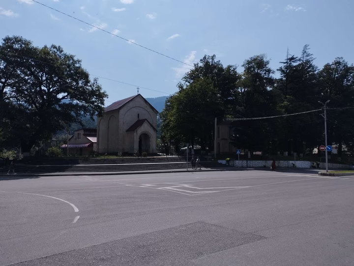
Tkibuli is located in Georgia, in the administrative center of the Tkibul municipality of the Imereti region. The city is located on the southwestern slopes of the Rachinsky ridge, 42 km northeast of Kutaisi and 165 km northwest of Tbilisi. Tkibuli is also the terminus of the Rioni-Kutaisi-Tkibuli railway.