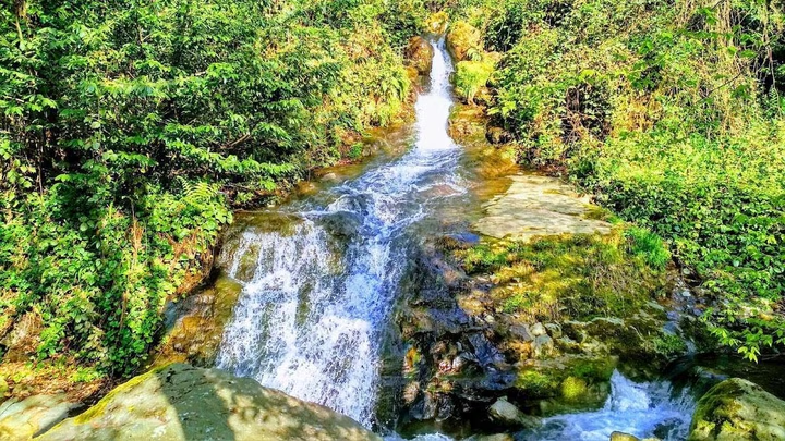
Add organization

    Tkhilnari

    🏡 Type: village
    🗺️ Admin area: Adjara Autonomous Republic, Khelvachauri Municipality
    📍 Coordinates: 41°33′49″N 41°39′11″E (≈ 41.5636, 41.6531)
    🌊 Location: left bank of the Chorokhi River; about 1 km south of Batumi (straight-line)
    ⛰️ Elevation: ~32–120 m (varies by reference source)
    👥 Population: 2,239 (2014 census); 2,031 (2002)
    🧩 Community center (temi): Tkhilnari; includes: Tkhilnari, Zeda Tkhilnari, Agara, Makho, Murmaneti, Ombolo, Simoneti
    🌰 Name meaning: Georgian “თხილნარი” — “hazelnut grove / area covered with hazelnut shrubs”
    Time zone: GET (UTC +4)
    💰 Currency: Georgian lari (GEL)

    Answers to frequently asked questions

    What is the distance to Tkhilnari from Batumi?

    The distance from Tkhilnari to Batumi is 10 kilometers in a straight line, 16.2 kilometers along the pedestrian route, 16.3 kilometers along the highway.

    What is the distance to Tkhilnari from Tbilisi?

    The distance from Tkhilnari to Tbilisi is 263 kilometers in a straight line, 371.1 kilometers along the pedestrian route, 376.2 kilometers along the highway.

    Where is Tkhilnari?

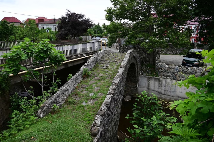
    The village of Tkhilnari is located in the Khelvachauri municipality of Adjara, at the confluence of the Boloko River and the Chorokhi River.