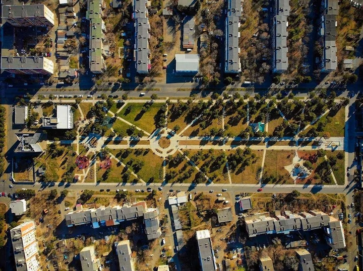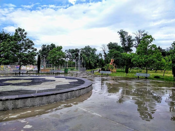
Rustavi Culture and Leisure Park
The central city park of Rustavi is an ideal place for family recreation and cultural events. Enjoy walks along picture…


The distance from Rustavi to Batumi is 280 kilometers in a straight line, 394.8 kilometers along the pedestrian route, 394.8 kilometers along the highway.
The distance from Rustavi to Tbilisi is 24 kilometers in a straight line, 26.1 kilometers along the pedestrian route, 28.5 kilometers along the highway.
Rustavi is located in southeast Georgia, on the banks of the Kura River, 11 kilometers southeast of the capital Tbilisi, in the Kvemo Kartli region.