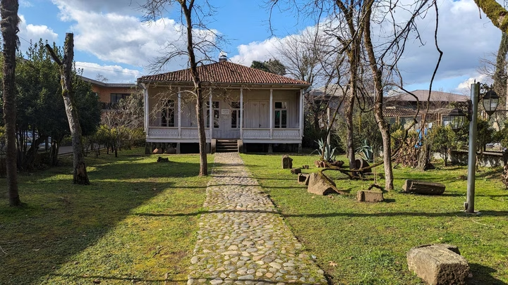

Ozurgeti Museum of Local Lore

The Historical and Ethnographic Museum of Ozurgeti presents a unique opportunity to get acquainted with the history of …


The distance from Ozurgeti to Batumi is 42 kilometers in a straight line, 53.8 kilometers along the pedestrian route, 50.0 kilometers along the highway.
The distance from Ozurgeti to Tbilisi is 233 kilometers in a straight line, 333.7 kilometers along the pedestrian route, 304.3 kilometers along the highway.
Ozurgeti is a city in western Georgia, located on the Natanebi River. It is the center of the Guria region and the Ozurgeti municipality. The city is crossed by the Batumi - Samtredia highway, and also has an 18 km long railway line that connects it with the Samtredia - Batumi line of the Georgian Railway. By rail you can get to Batumi and Tbilisi.