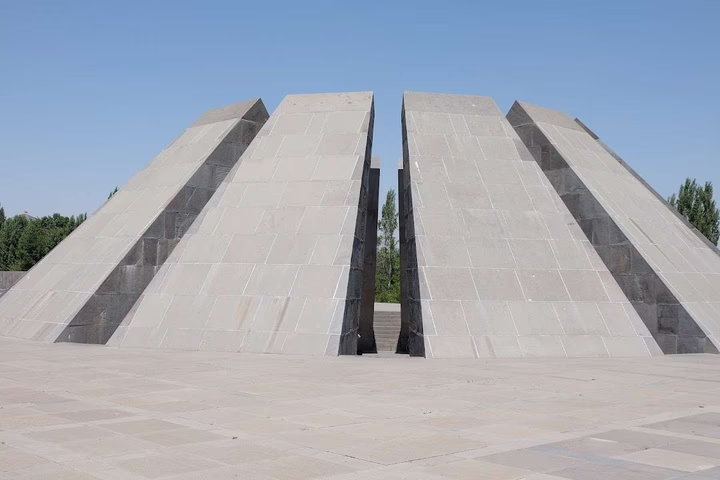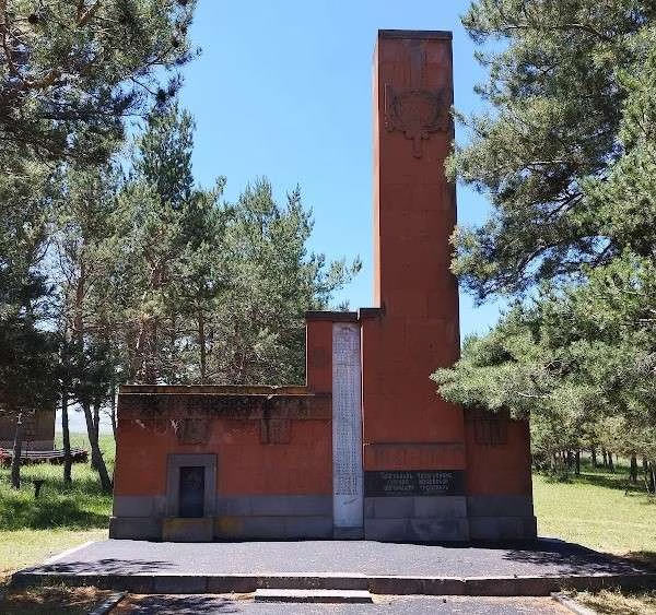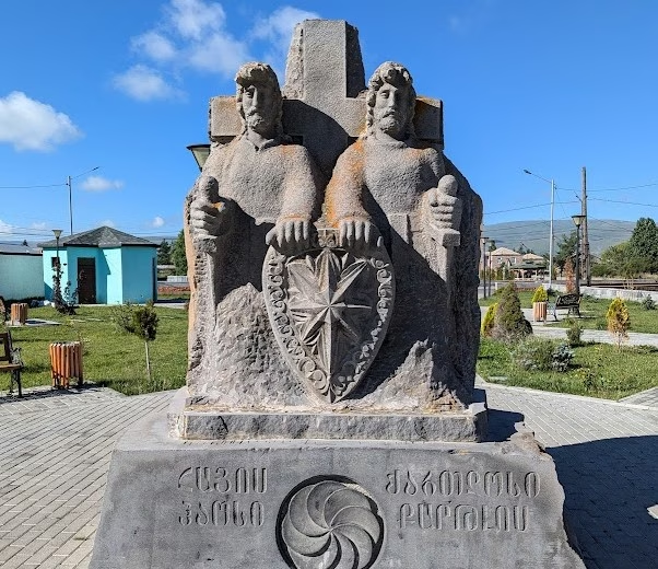
Park of Chaos, brother of Kartlos
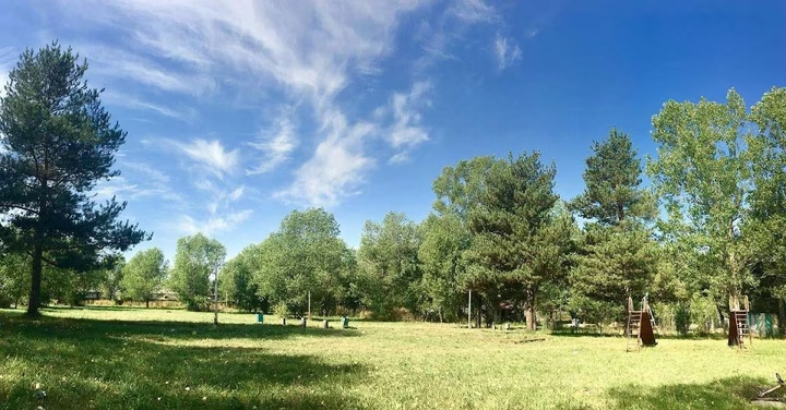
City Park named after Chaos in Ninotsminda is an ideal place for relaxation with the whole family. Well-groomed alleys,…


The distance from Ninotsminda to Batumi is 168 kilometers in a straight line, 254.8 kilometers along the pedestrian route, 318.5 kilometers along the highway.
The distance from Ninotsminda to Tbilisi is 112 kilometers in a straight line, 154.7 kilometers along the pedestrian route, 175.8 kilometers along the highway.
Ninotsminda is located in the south of Georgia, in Javakheti, the region of Samtskhe-Javakheti. This is a city that is the center of the Ninotsminda municipality. It was founded by Doukhobors from Russia and was originally called the village of Bogdanovka. The city is located next to Lake Khanchali and highways pass through it, connecting it with Akhalkalaki, Akhaltsikhe and Tsalka. Also in the city there is a railway station of the Georgian Railway, located on the Tbilisi - Akhalkalaki line, and is located 70 km from Tsalka.