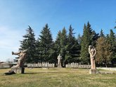
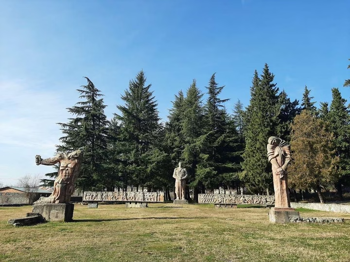
Add organization

    Lagodekhi

    🏛️ Municipal administrative centre: Lagodekhi
    🌍 Region: Kakheti, Eastern Georgia
    📍 Location: at the foothills of the Greater Caucasus, near the Azerbaijan border
    🛣️ Nearest major city: Gurjaani (~55 km)
    🏘️ Status: city (since 1962)
    👥 Population: ~9,000 residents (estimate)
    ⛰️ Elevation: approx. 430 m above sea level
    🌲 Key feature: Lagodekhi Protected Areas, waterfalls, alpine meadows and eco-tourism
    Time zone: GET (UTC +4)
    🌦️ Climate: humid temperate, cooler than central Kakheti

    The Most Frequent Questions

    ❓What is the distance to Lagodekhi from Batumi?

    The distance from Lagodekhi to Batumi is 386 kilometers in a straight line, 520.6 kilometers along the pedestrian route, 515.1 kilometers along the highway.

    ❓What is the distance to Lagodekhi from Tbilisi?

    The distance from Lagodekhi to Tbilisi is 124 kilometers in a straight line, 147.9 kilometers along the pedestrian route, 158.7 kilometers along the highway.

    ❓Where is Lagodekhi?

    Lagodekhi is located in the Kakheti region of Georgia, on the Lagodekhi River (a tributary of the Alazani), 38 km northeast of Tsnoris-Tskali station. The city is the center of the Lagodekhi municipality. It is also located near the 24,000-hectare Lagodekhi Nature Reserve, which was established in 1912. The area is located on the border with the Belokan region of Azerbaijan.