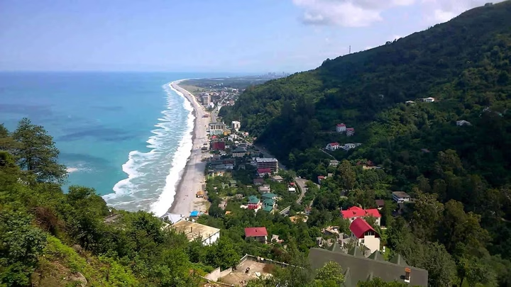
Pebble beach Kvariati

Explore the pebble beach in Kvariati, Georgia - the perfect place to relax. We invite you to discover the lush nature, …


The distance from Kvariati to Batumi is 13 kilometers in a straight line, 15.3 kilometers along the pedestrian route, 15.3 kilometers along the highway.
The distance from Kvariati to Tbilisi is 270 kilometers in a straight line, 379.8 kilometers along the pedestrian route, 375.1 kilometers along the highway.
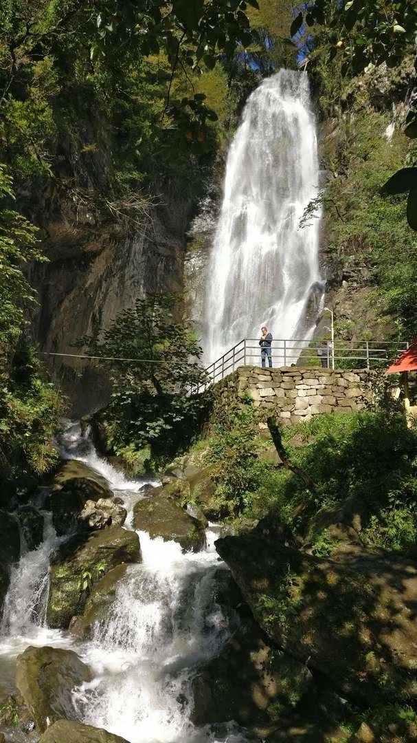
The village of Kvariati is located on the Black Sea coast in Georgia, near the border with Turkey. It is located on the Kakhaber lowland, on both banks of the Kvariati River. Until 2011, the village was located in the Khelvachauri municipality of Adjara, and then was included in the city of Batumi.