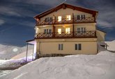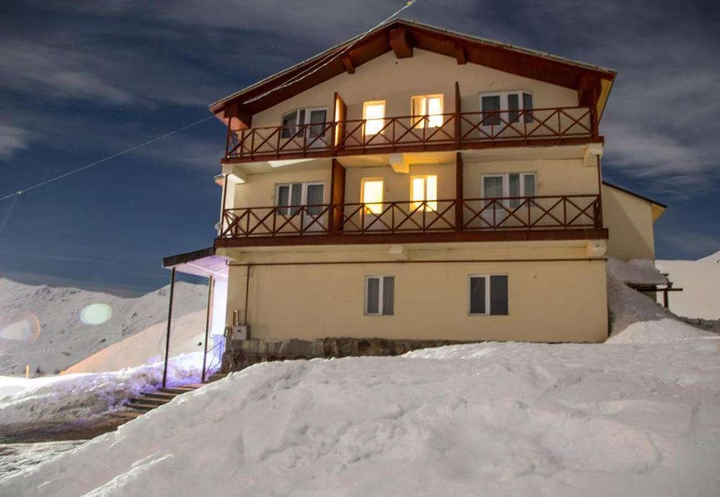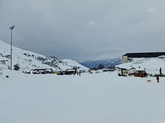
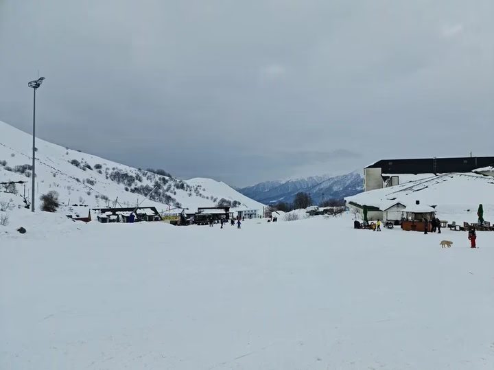
Gudauri
Embark on an exciting ski adventure in Gudauri, Georgia. Learn about the resort, its benefits, instructor contacts and …


The distance from Gudauri to Batumi is 252 kilometers in a straight line, 423.3 kilometers along the pedestrian route, 426.9 kilometers along the highway.
The distance from Gudauri to Tbilisi is 91 kilometers in a straight line, 133.4 kilometers along the pedestrian route, 119.7 kilometers along the highway.
Gudauri is located in the Kazbegi municipality of the Mtskheta-Mtianeti region of Georgia, on the southern slopes of the Greater Caucasus Range. It is located on the Georgian Military Road, near the Cross Pass, at an altitude of 2150 m above sea level. Gudauri is the highest mountainous settlement on this road. The distance from Gudauri to Tbilisi is about 120 km and takes about 2 hours by car.