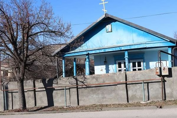
St. Ellia's church
Discover the ancient Elia Monastery in Kakheti, Georgia - a treasure of Orthodox monasticism surrounded by vineyards. H…


The distance from Dedoplis-Tskaro to Batumi is 373 kilometers in a straight line, 505.7 kilometers along the pedestrian route, 488.1 kilometers along the highway.
The distance from Dedoplis-Tskaro to Tbilisi is 110 kilometers in a straight line, 129.4 kilometers along the pedestrian route, 131.7 kilometers along the highway.
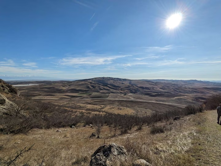
Dedoplis-Tskaro is located in the southeast of Georgia, in Kakheti. This is the center of Dedoplistskaro municipality. The city is located on the Iori Plateau, 115 km southeast of Tbilisi. The final railway station of the Georgian Railway on the branch from Tbilisi (133 km). In the vicinity of the city there is a medieval fortress Khornabudzhi (Khornabudzhistsikhe).