
Chiatura Museum of Local Lore

The Chiatura Museum Fund contains more than 13,000 exhibits, many of which were found as a result of archaeological exc…


The distance from Chiatura to Batumi is 154 kilometers in a straight line, 207.6 kilometers on foot, 213.5 kilometers by road.
The distance from Chiatura to Tbilisi is 142 kilometers in a straight line, 210.7 kilometers on foot, and 184.7 kilometers by road.
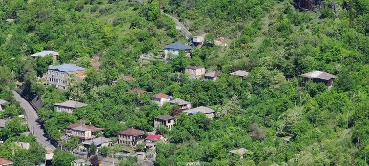
Chiatura is located in Georgia's Imereti region. It is the capital of the Chiatura Municipality. The town is located in the gorge of the Kvirila River, a tributary of the Rioni River. It also lies on the adjacent plateau. The distance from Chiatura to Georgia's capital, Tbilisi, by train is 220 km. Chiatura railway station is on the Zestaponi-Sachkhere line (from the Samtredia-Khashuri line) of the Georgian Railway.