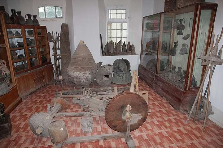
Akhalkalaki Local Museum
Open the doors to the history of Akhalkalaki through the prism of the Museum of Local Lore. The ethnographic collection…


The distance from Akhalkalaki to Batumi is 155 kilometers in a straight line, 236.5 kilometers along the pedestrian route, 378.3 kilometers along the highway.
The distance from Akhalkalaki to Tbilisi is 114 kilometers in a straight line, 154.4 kilometers along the pedestrian route, 194.6 kilometers along the highway.
Akhalkalaki is located in Georgia and is the center of the Akhalkalaki municipality of the Samtskhe-Javakheti region. This city is located in the south of the country, in the Samtskhe-Javakheti region, just 30 km from the border with Turkey. Geographically, Akhalkalaki is conveniently located between two small rivers of the Kura basin - Paravani and Kirkh-Bulak, which meet just north of the city. From the Akhaltsikhe railway station the city is located 74 km to the southeast, which emphasizes its important transport and strategic position in the region.