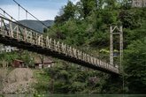
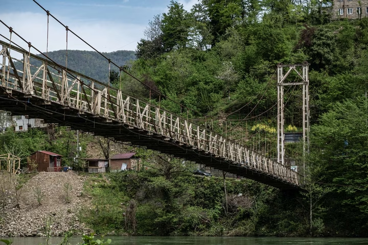
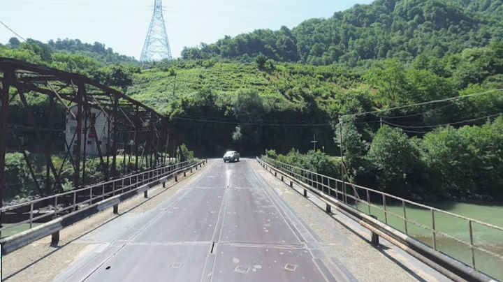
Add organization

    Acharistskali

    🏡 Adjaristsqali — a village in Adjara (Georgia)
    🗣️ Georgian name: აჭarisწყალი (Acharistsqali / Adjaristsqali)
    📍 Administrative unit: Khelvachauri Municipality, Adjara AR
    🧭 Coordinates: 41°32′40″N, 41°43′36″E
    ⛰️ Elevation: 52 m above sea level
    🌊 By the river: right bank of the Adjaristsqali River, near its confluence with the Chorokhi
    🚗 Nearest city: ~6 km SE of Batumi (straight-line)
    👥 Population: 274 (2014 census)
    Time zone: UTC +4 (GET)
    📖 Name meaning: literally “Adjara’s water”

    Where to eat in Adjaristskali

    Other organizations and services in Adjaristskali

    FAQ — frequently asked questions

    What is the distance to Adjaristskali from Batumi?

    The distance from Adjaristskali to Batumi is 38 kilometers in a straight line, 58.0 kilometers along the pedestrian route, 58.1 kilometers along the highway.

    What is the distance to Adjaristskali from Tbilisi?

    The distance from Adjaristskali to Tbilisi is 225 kilometers in a straight line, 318.7 kilometers along the pedestrian route, 313.4 kilometers along the highway.

    Where is Adzharistskali located?

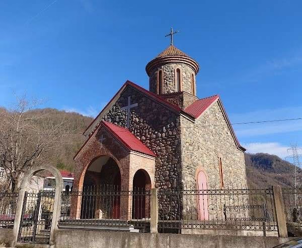
    The village of Adjaristskali is located in the Khelvachauri municipality of Adjara, the river of the same name flowing through the village flows into the Chorokhi River.